


Heritage Snapshot #1: the Cutbanks

Welcome to NORTHERN HERITAGE Snapshots! This is the first in a new series of short posts (in addition to the regular Friday post) delving into interesting aspects of Prince George and Northern heritage. As I learn more about my new home, I will share these cameos and hopefully we will gain some new insights and ideas together about heritage ….

This first Heritage Snapshot looks at the glorious Fraser and Nechako Cutbanks - geological heritage with special “value” and meaning for the city of Prince George.
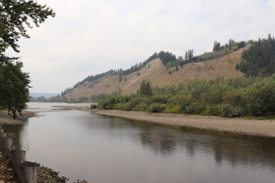
View from Cottonwood Park of Nechako Cutbanks
The Cutbanks — Geomorphological Landscape
Throughout the Pleistocene period, Prince George was covered by a sheet of ice almost 2 km. thick. About 12,000 years ago, in the early Holocene, the great ice sheet started to melt, forming a glacial lake covering what is now the city and its surroundings. Thick layers of silt, clay and fine grained sand sediments were deposited at the bottom of the lake.
By 7000 B.C. the region was ice free and the Fraser and its tributaries, including the Nechako, cut down through these thick glacial deposits of sand and gravel, migrating back and forth and deepening the valley we now call the “Bowl”. As the rivers cut down through the glacial sediments in places along their banks they carved the Cutbanks — sections through “deep time” visible and part of our present.
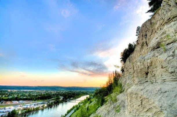
Layers of silt, gravel and sand of the Cutbanks (Photo: The Exploration Place)
We live surrounded by physical evidence of this geomorphological landscape created as the ice withdrew, glacial waters scoured and carved through soft sediments, and new ecosystems evolved. Spruce, pine, fir, birch and aspen on the drier slopes; willows and alder in the swampy areas and prickly rose, blueberry and asters everywhere. The landscape filled with moose, grizzly bear, elk, beaver, mule deer, hoary marmot, mountain caribou — and salmon.
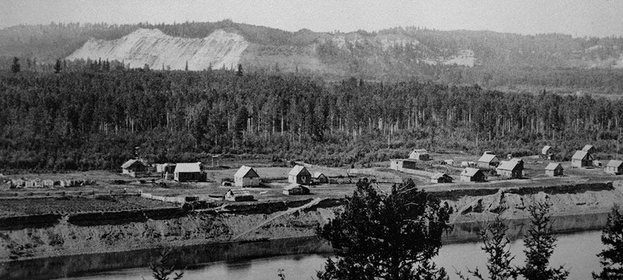
Lheidli village, 1891, at present day Lheidli T’enneh Memorial Park (Photo: The Exhibition Place, courtesy Hudsons Bay Co archives)
This geological landscape has supported the Lheidli T’enneh for at least nine millennia and we newcomers for more than a hundred years. It has been partially erased by urban development, made illegible by progress — but every time you glance up and see the hills, rivers and Cutbanks framing the city, remember the dynamic powers of Time’s Arrow and Time’s Cycle, forces with and without direction, that have carved and molded this place.
This is our “deep time heritage”.
Two favourite books for further reading:
Time’s Arrow, Time’s Cycle: Myth and Metaphor in the Discovery of Geological Time, Stephen Jay Gould, Harvard University Press, 1987.
Geotour Guide for Prince George, British Columbia Our Land Sustains Us: Geology, Landscapes, and Earth Resources. Geological Survey of Canada Open File Report 5559, 2010.
I would like to acknowledge that the land on which I live and work is the traditional unceded territory of the Lheidli T'enneh.